
UTSI Ground Penetrating Radar
GPR systems built around the investigation.
From straightforward service avoidance and utility mapping to professional configurable GPR and non-destructive asphalt-layer measurement, UTSI provides systems built around the required field result.
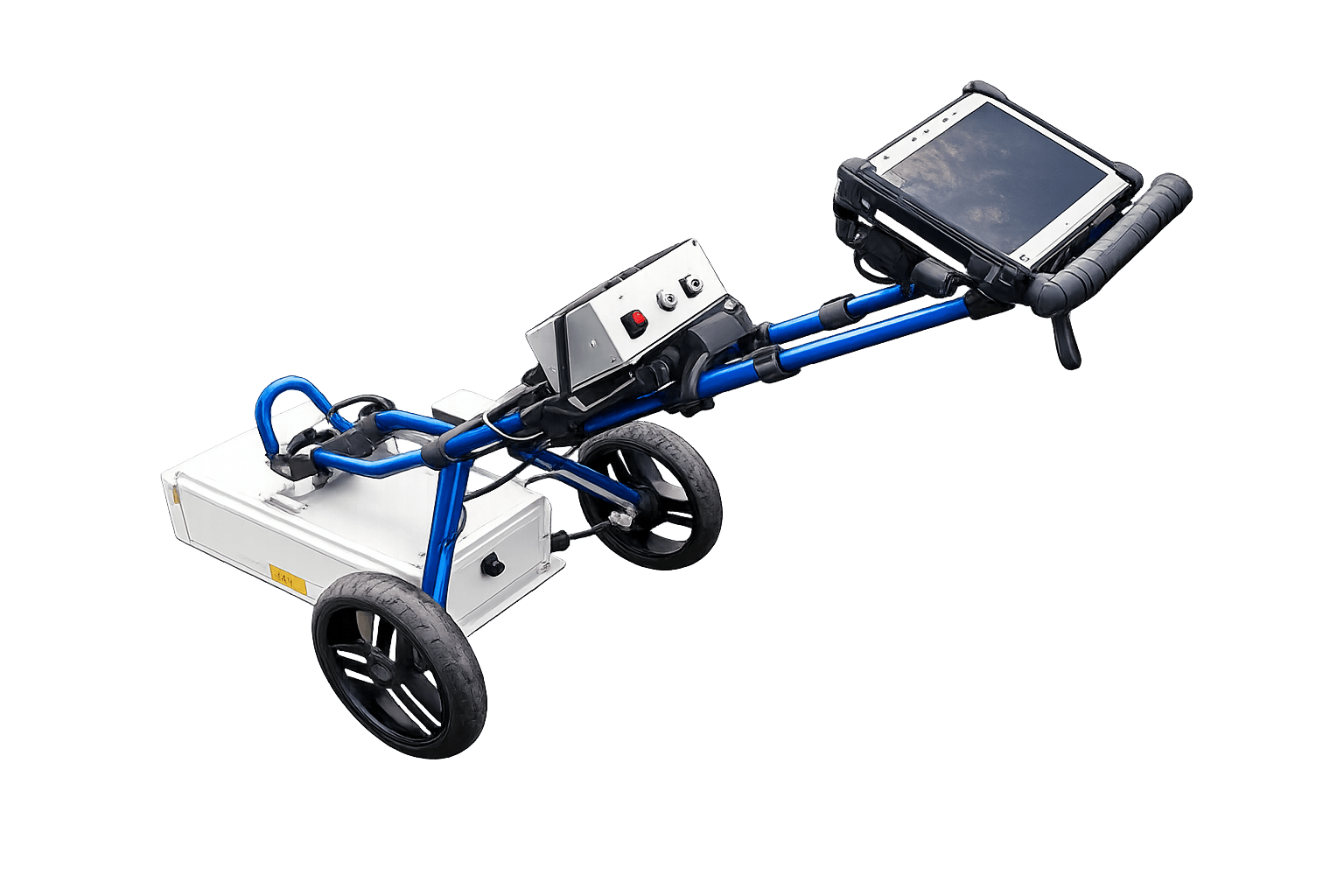
Guided workflows for pre-excavation work.
Immediate mark-out and conventional radar data.
Configurable channels, frequencies and deployment.
Rapid non-destructive bound-layer measurement.
Product Range
Four product routes across two operating approaches
e-Safe, e-Spade Lite and e-Spott HF are designed around defined operational outcomes. GroundVue provides configurable professional radar systems for more detailed and specialist investigation.
Application-led GPR systems
Equipment designed around a defined operational outcome, including utility avoidance, immediate mark-out, mapping and asphalt layer spot testing.
Professional and configurable GPR
Systems for experienced users who require multi-frequency, multi-channel, deep-investigation or specialist survey configurations.
Application-led Systems
Purpose-designed around the field task
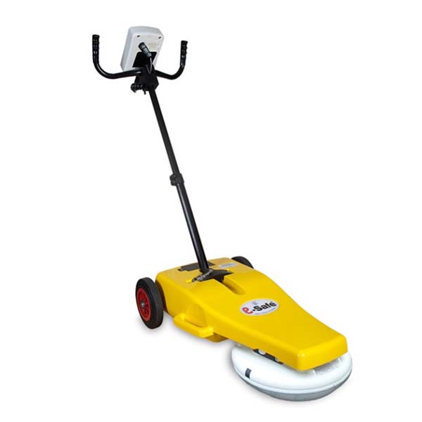
e-Safe
Service avoidance for everyone
A practical GPR platform that presents processed likelihood information for pre-excavation utility avoidance. Choose between the traceable single-line LOG workflow and the multi-line PRO workflow.
Utility Mapping and Mark-out
e-Spade Lite
A folding, field-portable GPR system designed to make conventional subsurface mapping and immediate mark-out more accessible.
- Immediate Mark Out or Utility Mapping workflows
- XPM2 and UP400 antenna options
- Field display of radar information
- Folding format for transport and storage
Asphalt Layer Spot Testing
e-Spott HF
A compact high-frequency system for rapid spot measurement of total bound-layer depth in asphalt footways and minor carriageways.
- Spot reading in under 20 seconds
- Automatic GPS and result storage
- Designed to reduce unnecessary coring
- Compact hand-carried format
Professional GPR Systems
Configurable systems for detailed investigation
Select the channels, frequencies, antenna format and deployment method around the required resolution, investigation depth and survey environment.
GV3
Modular professional separates
A scalable controller and antenna platform for professional users who require flexibility across different survey methods, frequencies and channel counts.
- One, three, four or eight-channel controllers
- Broad antenna choice from 250 MHz to 6 GHz
- Combined and separate transmitter/receiver formats
- Suitable for custom carts and specialist arrays
TriVue
Integrated three-frequency GPR
Three shielded antenna frequencies housed in one rugged system, allowing complementary datasets to be recorded simultaneously.
- Three simultaneous independent channels
- Broad effective investigation bandwidth
- Utility, road, rail and environmental applications
- Multiple trolley and deployment options
GV7
Low-frequency deep investigation
An inline towed transmitter and receiver system for mapping deeper subsurface anomalies and undertaking specialist velocity calibration surveys.
- Common-offset, CMP and WARR survey capability
- Wireless transmitter and receiver synchronisation
- Designed for harsh and difficult environments
- Low-frequency unshielded antenna format
GV100
Shielded large-area investigation system
A rugged integrated 100 MHz system for brownfield, environmental and larger-area investigations over uneven terrain.
- Shielded single-channel antenna
- Hand-pulled or vehicle-towed deployment
- Continuous or odometer-triggered recording
- Built-in positioning with external GPS support
Specialist and bespoke GPR configurations
Some investigations require a non-standard channel count, antenna arrangement, deployment platform, data interface or mechanical configuration. Contact UTSI to discuss the required survey method and operating environment.
Selection Guide
Start with the result you need
Product selection depends on the required output, target depth, resolution, ground conditions and the operator’s level of GPR experience.
Straightforward utility avoidance
Processed likelihood information without conventional radargram interpretation.
Consider e-Safe
Utility mapping or mark-out
Conventional GPR information for locating and marking subsurface features.
Consider e-Spade Lite
Rapid asphalt layer measurement
Focused spot readings of bound-layer depth in footways and minor carriageways.
Consider e-Spott HF
Detailed or specialist investigation
Configurable frequencies, channels, deployment methods and professional radar data.
Consider GV3, TriVue, GV7 or GV100
Find the Right System
Select the equipment around the investigation
Tell us about the intended application, expected targets, depth, site conditions, survey area and the information required from the work.