
GPR Applications
Choose the investigation, then select the system
UTSI ground penetrating radar systems support utility avoidance, professional utility mapping, road and railway assessment, concrete investigation, brownfield surveys, archaeology and ice and snow investigation.
Why Use GPR
Investigate what lies beneath the surface
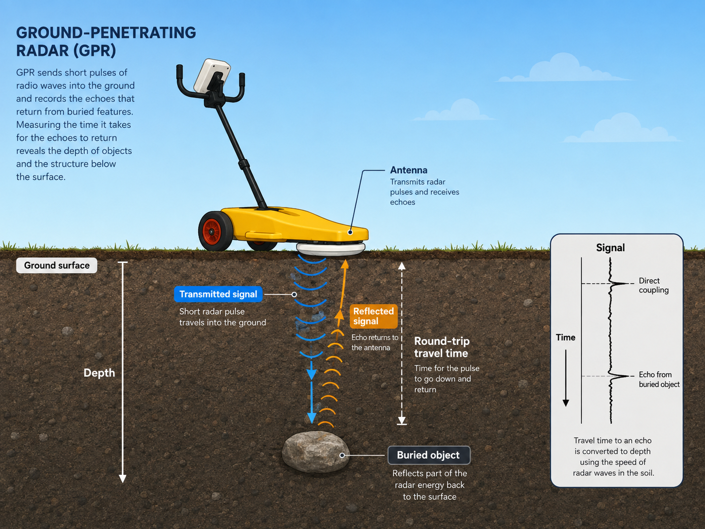
GPR records reflections created by changes in electromagnetic properties, providing non-destructive information about buried objects, structures, interfaces and variations in ground conditions.
Reduce unnecessary intrusive work
Gather subsurface information before excavation, coring, drilling or destructive opening-up.
Investigate different target materials
GPR can respond to metallic and non-metallic objects, structural features, layers, voids and other material contrasts.
Collect continuous profiles
Survey data collected along a route or across a grid can reveal changes, patterns and areas requiring further investigation.
Configure around the investigation
Frequency, channel count, deployment method, positioning and processing should be selected around the required output.
Application Areas
Eight application routes across the UTSI product range
Each application page explains the investigation objective, suitable survey methods, relevant products and important limitations.
Pre-Excavation Safety
Utility Avoidance
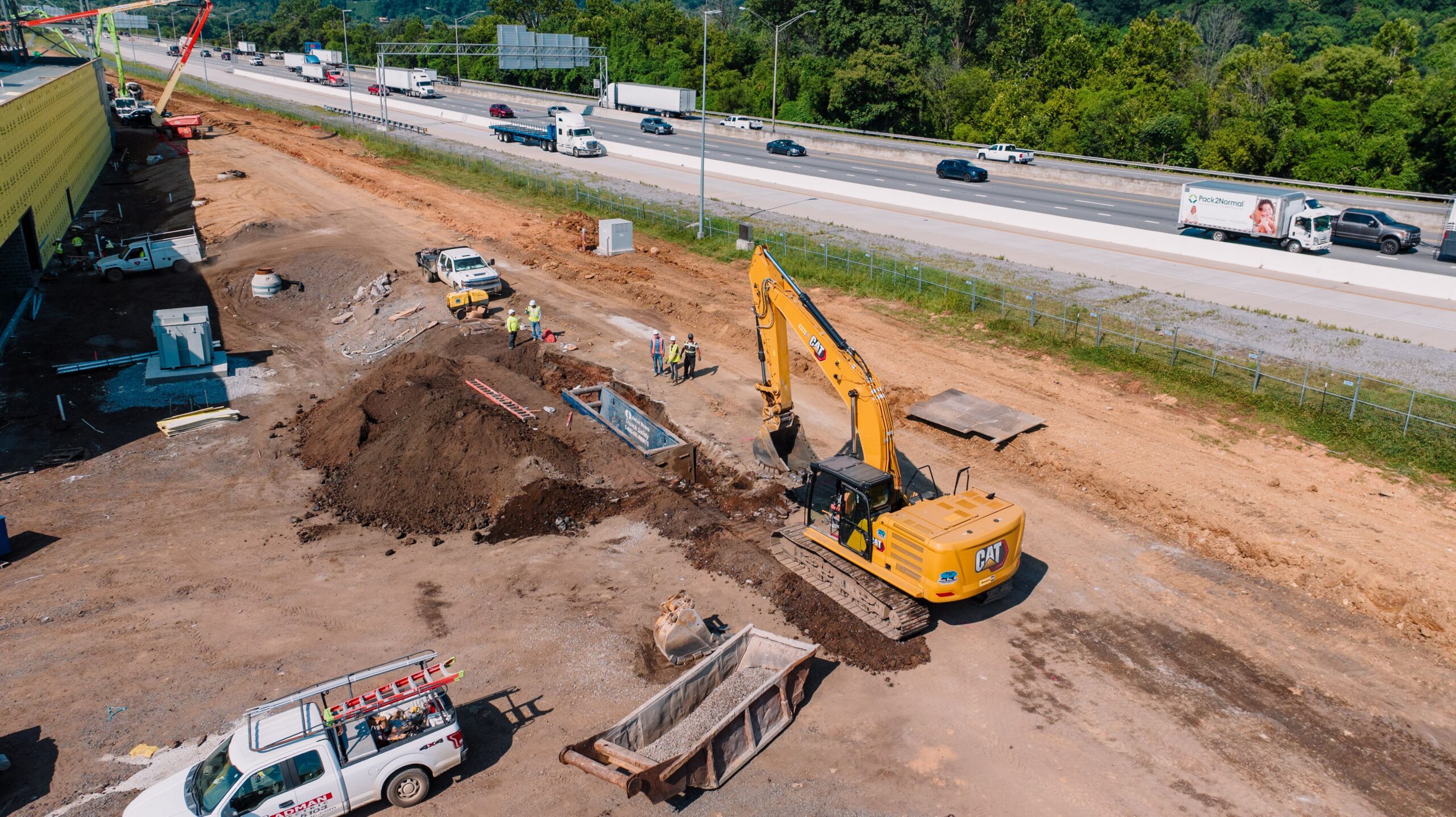
Add straightforward GPR-based information to the pre-excavation process and identify areas that may require further investigation before breaking ground.
- Service-avoidance investigation before excavation
- Processed likelihood information
- Workflow designed for non-specialist GPR users
- Use alongside EML, records and physical verification
Utility Surveying
Utility Detection & Mapping
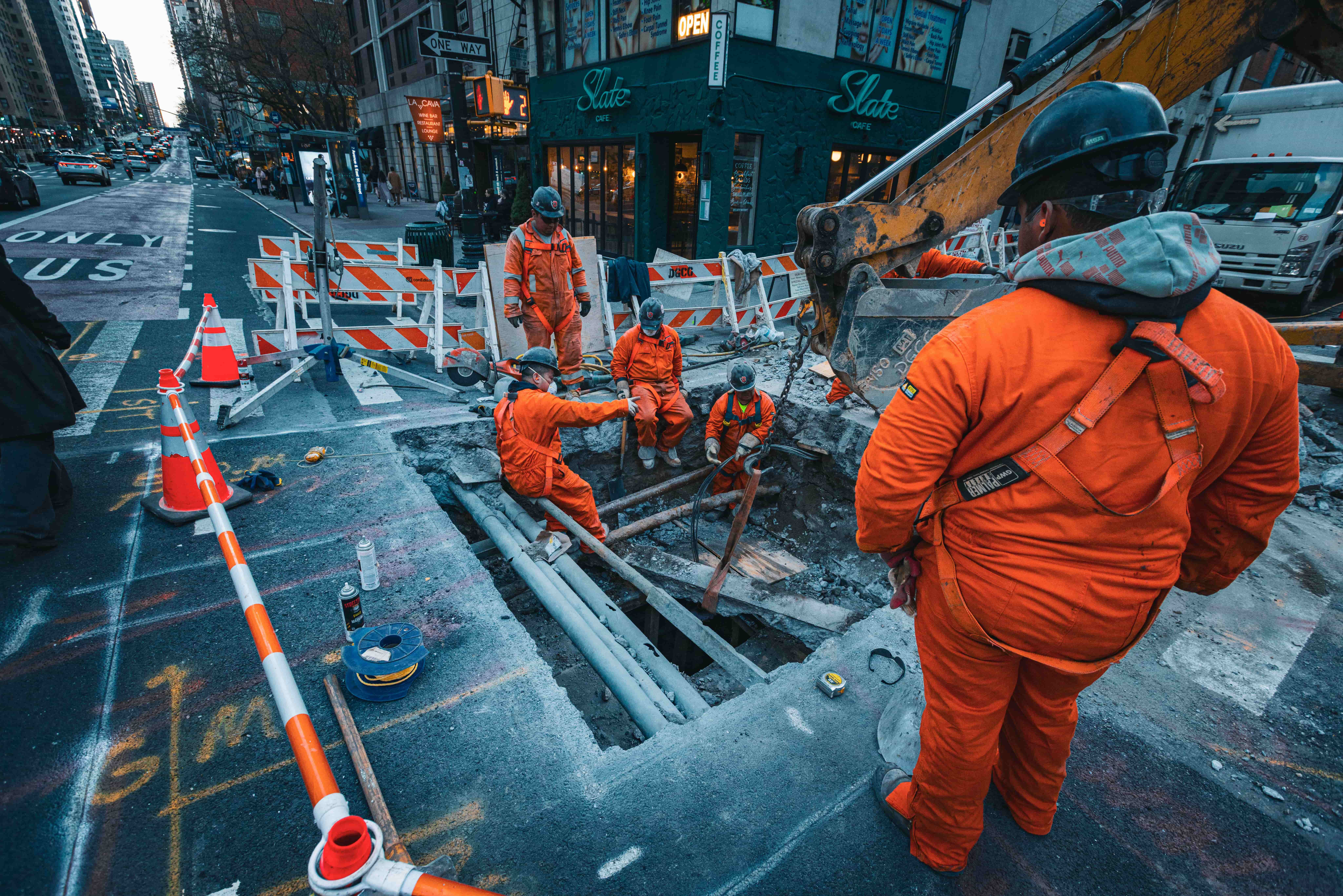
Detect, interpret and map buried services using immediate mark-out, conventional radar information and configurable professional survey workflows.
- Immediate on-site mark-out
- Metallic and non-metallic utility investigation
- Positioned route mapping and interpretation
- Single, multi-frequency and multi-channel collection
Highways and Pavements
Road & Pavement Investigation
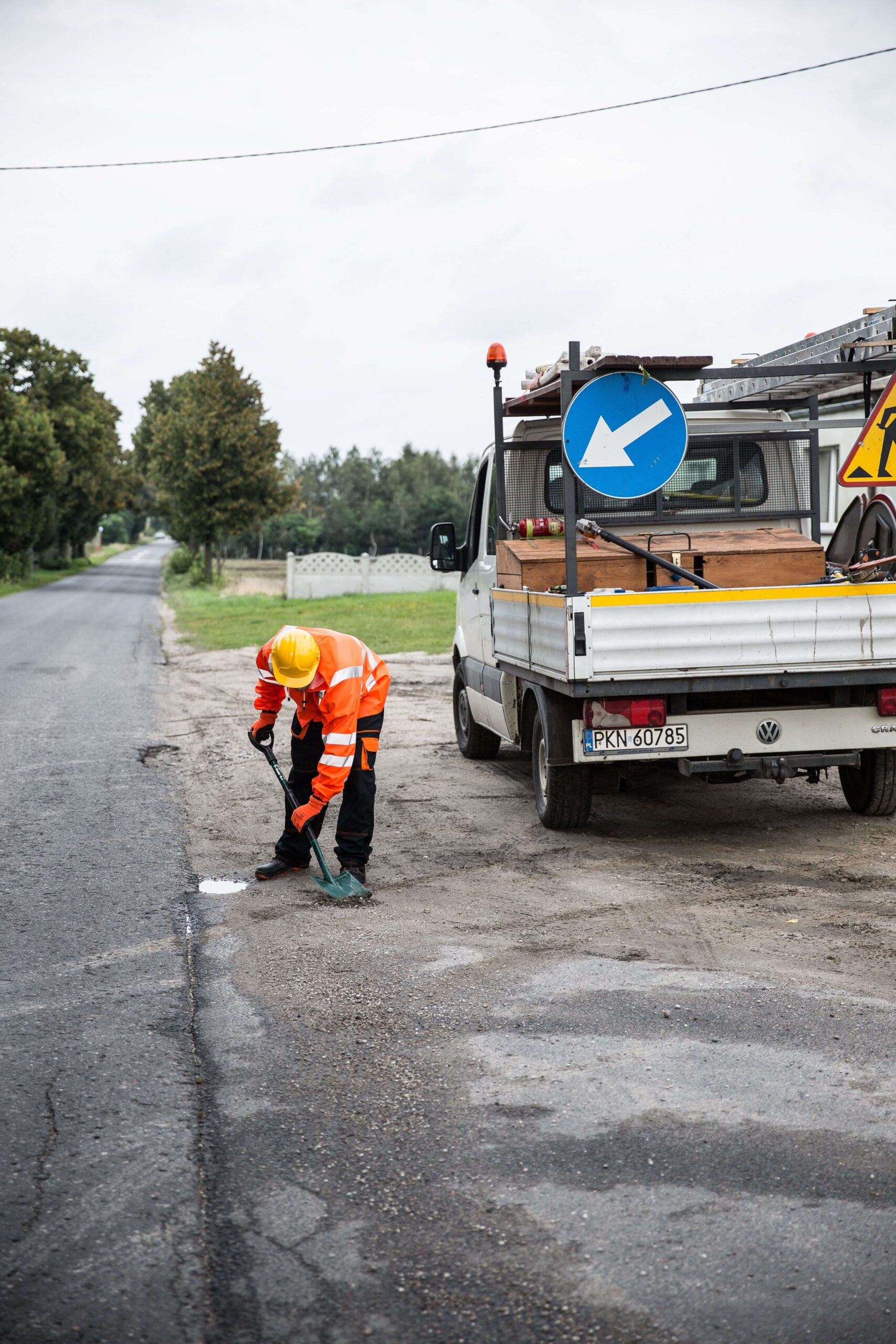
Combine rapid asphalt spot measurements with configurable GPR profiling to investigate pavement layers and subsurface variation.
- Total bound-layer spot measurement
- Continuous pavement profiling
- Construction and layer variation
- Targeted coring and verification
Transport Infrastructure
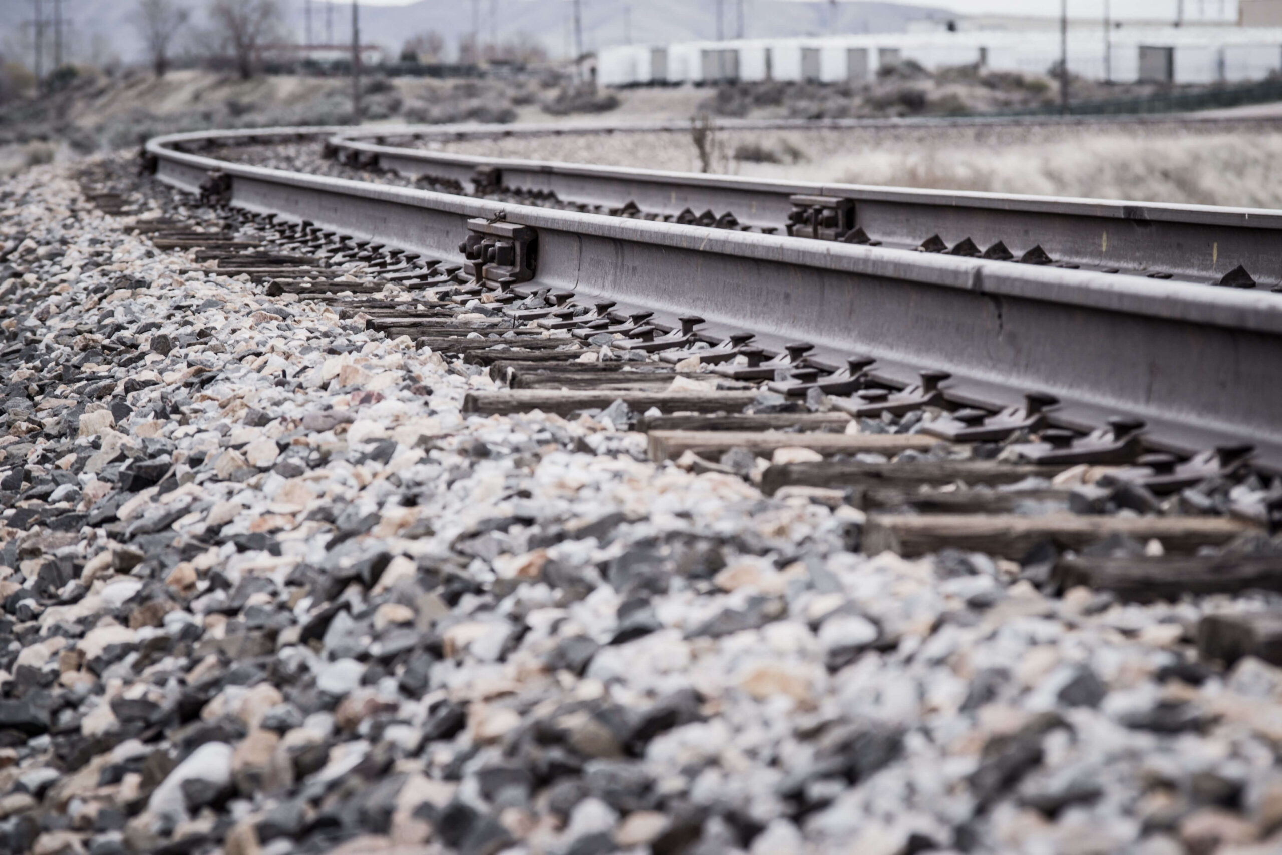
Railway Investigation
Investigate ballast, sub-ballast, formation conditions and changes in trackbed construction using continuous radar profiles.
- Ballast and layer-interface investigation
- Trackbed construction variation
- Drainage and moisture-related change
- Deeper specialist investigation
Built Environment
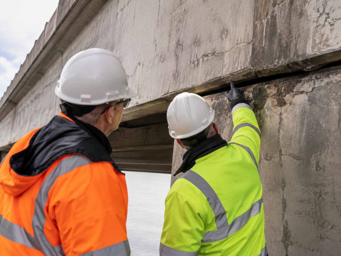
Bridge & Concrete Investigation
Use high-frequency and configurable GPR to investigate reinforcement, concrete construction, interfaces and structural variation.
- Reinforcement and embedded-object mapping
- Slab thickness and interface investigation
- Support for drilling, cutting and coring
- Bridge-deck and approach profiling
Environmental and Geophysical
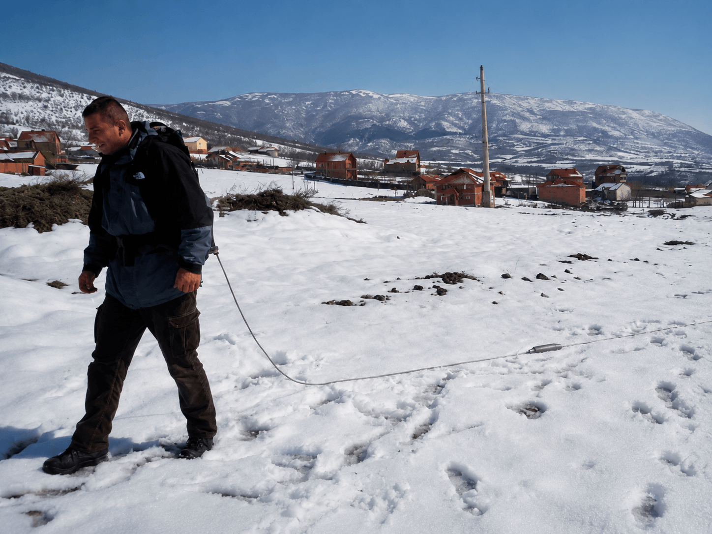
Environmental & Brownfield Surveys
Investigate buried structures, former foundations, made ground, fill variation and anomalous areas before intrusive work.
- Former foundations and buried construction
- Tanks, utilities and disturbed ground
- Made-ground and fill variation
- Larger-area and deeper investigation
Heritage and Research
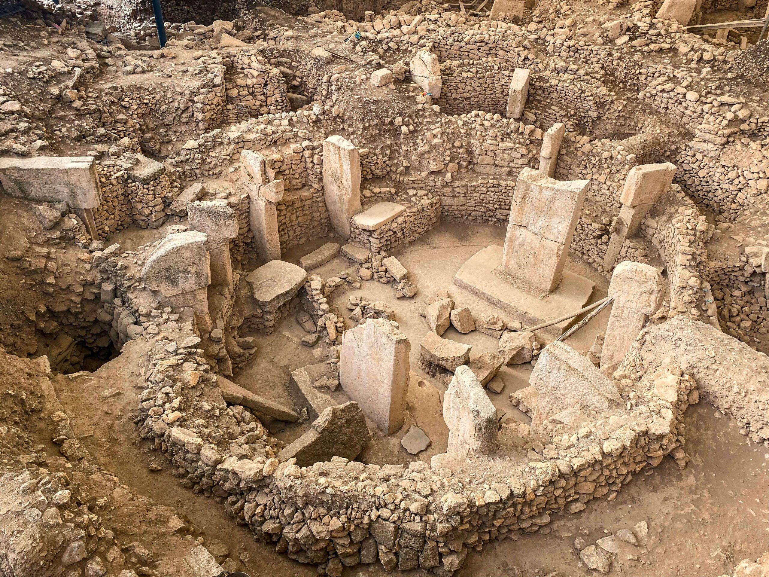
Archaeological Investigation
Map buried walls, foundations, surfaces, ditches, pits, voids and changes in archaeological deposits without disturbing the site.
- Walls, foundations and buried structures
- Floors and former surfaces
- Ditches, pits and disturbed ground
- High-density grid surveys
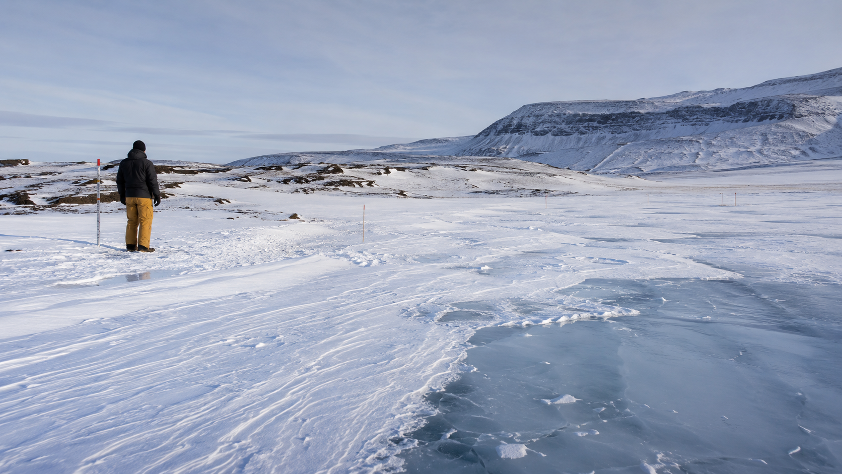
Cold-Region Investigation
Ice & Snow Investigation
Use GPR to investigate ice thickness, snow depth, frozen ground and subsurface interfaces in cold-region survey environments.
- Ice-thickness profiling
- Snow and firn-layer investigation
- Frozen-ground and subsurface interfaces
- Continuous traverse and profile surveys
Utility Workflows
Different levels of operation for different field tasks
The utility range separates straightforward avoidance, immediate mark-out and professional radar surveying instead of forcing every user into the same workflow.
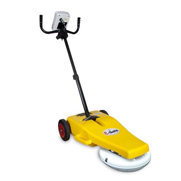
e-Safe
Processed likelihood information for straightforward service avoidance without conventional radargram interpretation.
e-Spade Lite
Immediate Mark Out and Utility Mapping workflows with visible conventional GPR information.
GroundVue
Configurable channels, antenna frequencies and professional radar data for experienced survey operators.
Product Matching
Start with the required result
Final selection also depends on expected depth, target size, ground or structural conditions, survey speed, operator experience and required output.
Project Approach
Define the investigation before selecting the equipment
The most appropriate system depends on the target and required output, not only the general application category.
Define the target
Identify the expected material, size, depth, orientation and contrast with the surrounding ground or structure.
Assess the environment
Consider conductivity, moisture, surface condition, obstructions, access and the required survey speed.
Select the configuration
Choose frequency, channel count, deployment method, positioning and data-collection parameters.
Plan the output
Define whether the project requires rapid indication, mapping, interpreted information, archived data or formal reporting.
Specialist Applications
Some investigations require more than an off-the-shelf system
UTSI can assess requirements involving unusual target depths, frequency ranges, channel arrangements, mechanical deployment, data interfaces or research objectives.
Frequently Asked Questions
Understanding GPR applications
Product selection should be based on the actual target, survey environment, required output and operator workflow.
Can one GPR system be used for every application?
Can GPR detect metallic and non-metallic targets?
How deep can GPR investigate?
Does GPR automatically identify the object or material?
Does a GPR survey replace intrusive verification?
Can UTSI help select the appropriate system?
Discuss Your Application
Select the GPR system around the investigation—not the other way around
Tell us what you need to investigate, the expected depth, site conditions, survey area and the type of result your team requires.