
Professional Ground Penetrating Radar
GroundVue Professional GPR for detailed investigation.
Configurable ground penetrating radar systems for professional subsurface surveying, mapping, analysis and specialist field work.
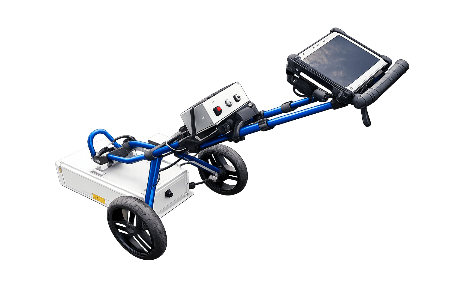
Four survey approaches GV3, TriVue, GV7 and GV100 cover modular, multi-frequency, deep-investigation and large-area survey requirements.
Match resolution and depth to the survey.
Single, three and multi-channel collection.
Detailed collection, review and processing.
Cart, skid, towed and bespoke configurations.
The GroundVue Approach
Configure the system around the survey method
Professional GPR work requires the antenna, frequency, channel count, deployment method and data workflow to be selected around the investigation rather than around a single fixed product format.
Select the appropriate frequency
Higher-frequency antennas generally provide greater detail over shallower ranges, while lower-frequency systems support deeper investigation with reduced resolution.
Match the channel count to the survey
A single channel may be appropriate for a straightforward profile, while multiple channels can collect complementary frequencies or operate as a wider survey array.
Choose the deployment method
Systems may be hand-pushed, mounted in a cart, pulled on a skid, towed behind a vehicle or configured for specialist structures and terrain.
Retain professional control of the data
GroundVue systems provide radar information suitable for field review, interpretation, quality control and further processing using compatible specialist software.
GroundVue Product Family
Four systems for different levels of investigation
Select a modular professional platform, an integrated multi-frequency system, a low-frequency deep-investigation system or a shielded large-area antenna.
Modular Professional Separates
A scalable controller and antenna platform
GV3 is designed for professional users who need flexibility across channel count, antenna frequency, transmitter and receiver arrangement and mechanical deployment.
- One, three, four and eight-channel controller options
- Scalable controller variants for future expansion
- Combined and separate transmitter/receiver antennas
- Antenna options from 250 MHz to 6 GHz
- Ethernet, Wi-Fi and external positioning interfaces
- Suitable for carts, arrays and bespoke assemblies
Professional organisations requiring the widest configuration choice or a platform that can be adapted to specialist survey methods.
Integrated Multi-frequency GPR
Three complementary frequencies in one housing
TriVue combines three shielded bistatic antennas and records independent 250 MHz, 500 MHz and 1 GHz datasets simultaneously.
- Three independent radar channels
- Simultaneous multi-frequency data collection
- Separate time-sweep control for each channel
- Wired and wireless data connection
- Internal positioning with external GPS support
- Multiple trolley, cart and trailing-wheel options
Surveys requiring complementary shallow, intermediate and deeper information without changing antenna systems between passes.
Low-frequency Deep Investigation
Inline transmitter and receiver for deeper surveys
GV7 is an inline towed system designed for mapping deeper subsurface anomalies and for specialist common-offset, CMP and WARR survey methods.
- Available in 40 MHz and 80 MHz configurations
- Separate transmitter and receiver units
- Wireless transmitter and receiver synchronisation
- Common-offset, CMP and WARR survey capability
- Designed for difficult and harsh environments
- External positioning can be recorded with survey data
Deep geological, mining, geotechnical and specialist investigation where low-frequency unshielded antennas are permitted.
Shielded Large-area Investigation
Rugged integrated antenna for uneven ground
GV100 combines a shielded bistatic 100 MHz antenna, controller and power supply in one housing for larger-area brownfield, environmental and ground investigations.
- Integrated shielded single-channel configuration
- Hand-pulled or vehicle-towed deployment
- Continuous or odometer-triggered data collection
- Ethernet and wireless data connection
- Built-in positioning with external GPS support
- Designed for rugged and uneven terrain
Brownfield, environmental, void, ground-engineering and larger-area investigations requiring a shielded low-frequency antenna.
Tell us about the target, expected depth, site conditions and required output.
Family Comparison
Compare the GroundVue systems
System Configuration
Define the investigation before selecting the equipment
The most suitable system is determined by the required information, not by frequency or depth alone.
Required resolution
Consider the smallest feature that must be distinguished and the level of detail required in the resulting radar information.
Expected depth
Select the frequency range around the likely investigation depth, while accounting for the effect of local ground conditions.
Survey method
Define whether the work requires a standard profile, multiple frequencies, a channel array, CMP, WARR or another specialist method.
Site and deployment
Consider terrain, access, survey speed, positioning, towing, available operators and any regulatory restrictions.
Deployment Options
Configure the mechanics around the site
GroundVue systems can be deployed in several ways depending on the antenna, terrain, survey speed and required positioning method.
Hand-pushed trolley
Suitable for controlled walking surveys where the antenna must remain close to the surface.
Multi-wheel cart
Provides a stable platform for heavier systems, multiple channels or rougher operating conditions.
Skid or trailing wheel
Supports low-frequency antennas and surveys over uneven or difficult ground.
Vehicle-towed or bespoke
Appropriate for larger areas, specialist arrays or projects where collection speed and coverage are priorities.
GroundVue Applications
Professional GPR across infrastructure and ground investigation
The appropriate GroundVue configuration depends on the target, required output, site access and expected investigation depth.
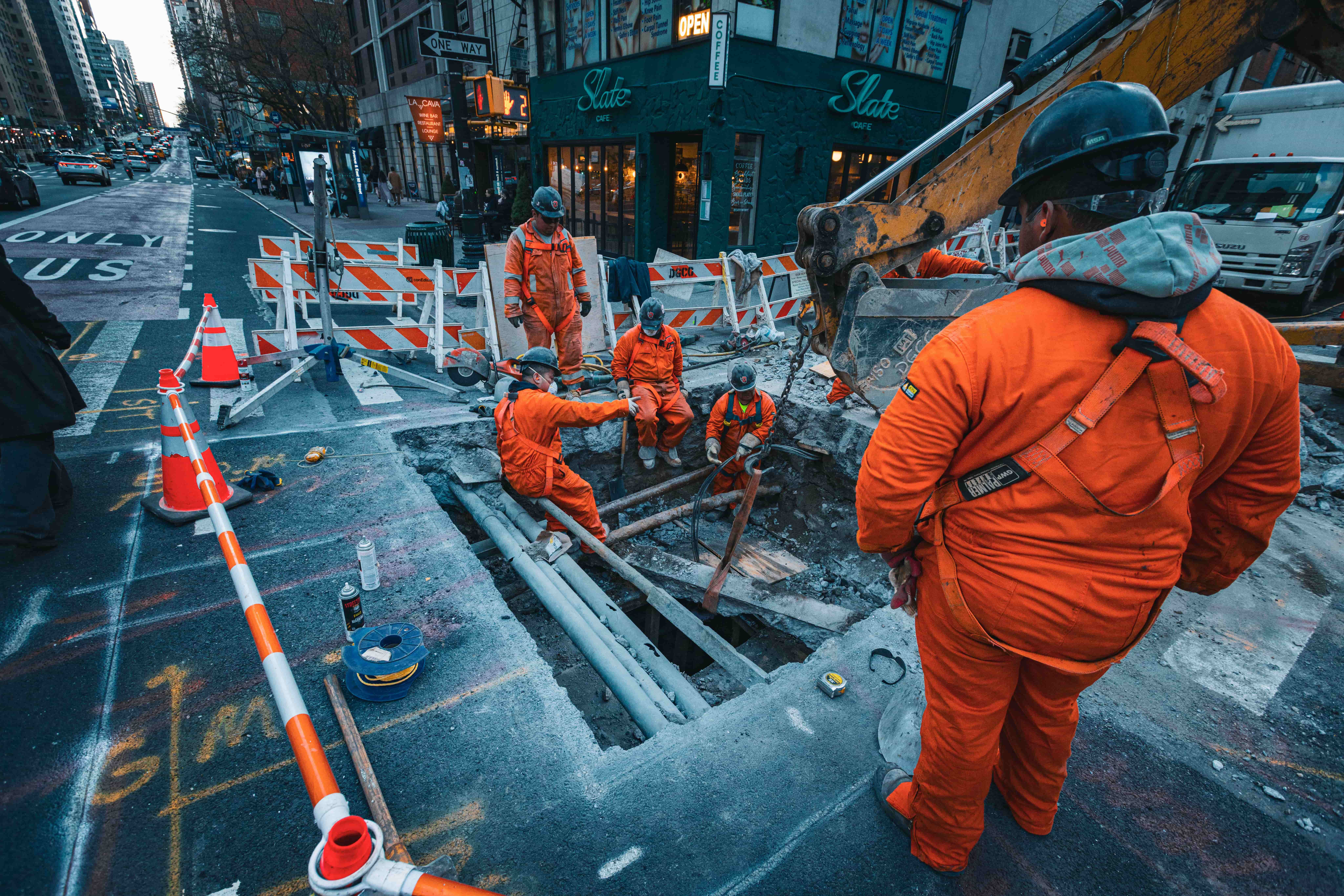 Utility Detection & MappingDetailed subsurface profiles and mapped service routes.
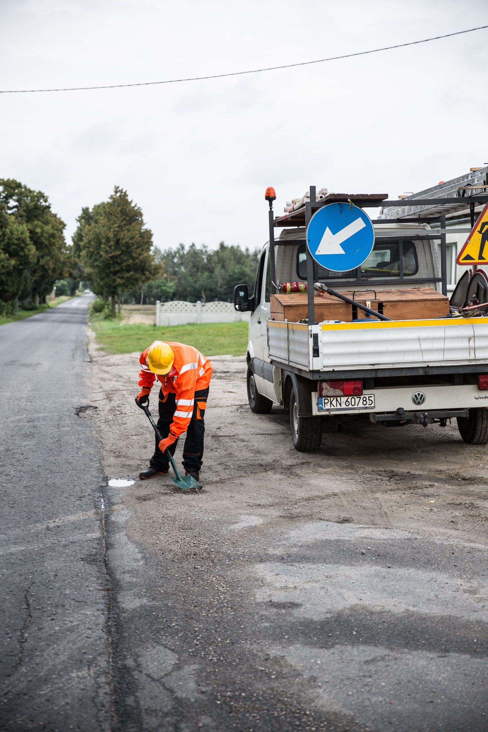 Road InspectionPavement layers, construction changes and subsurface features.
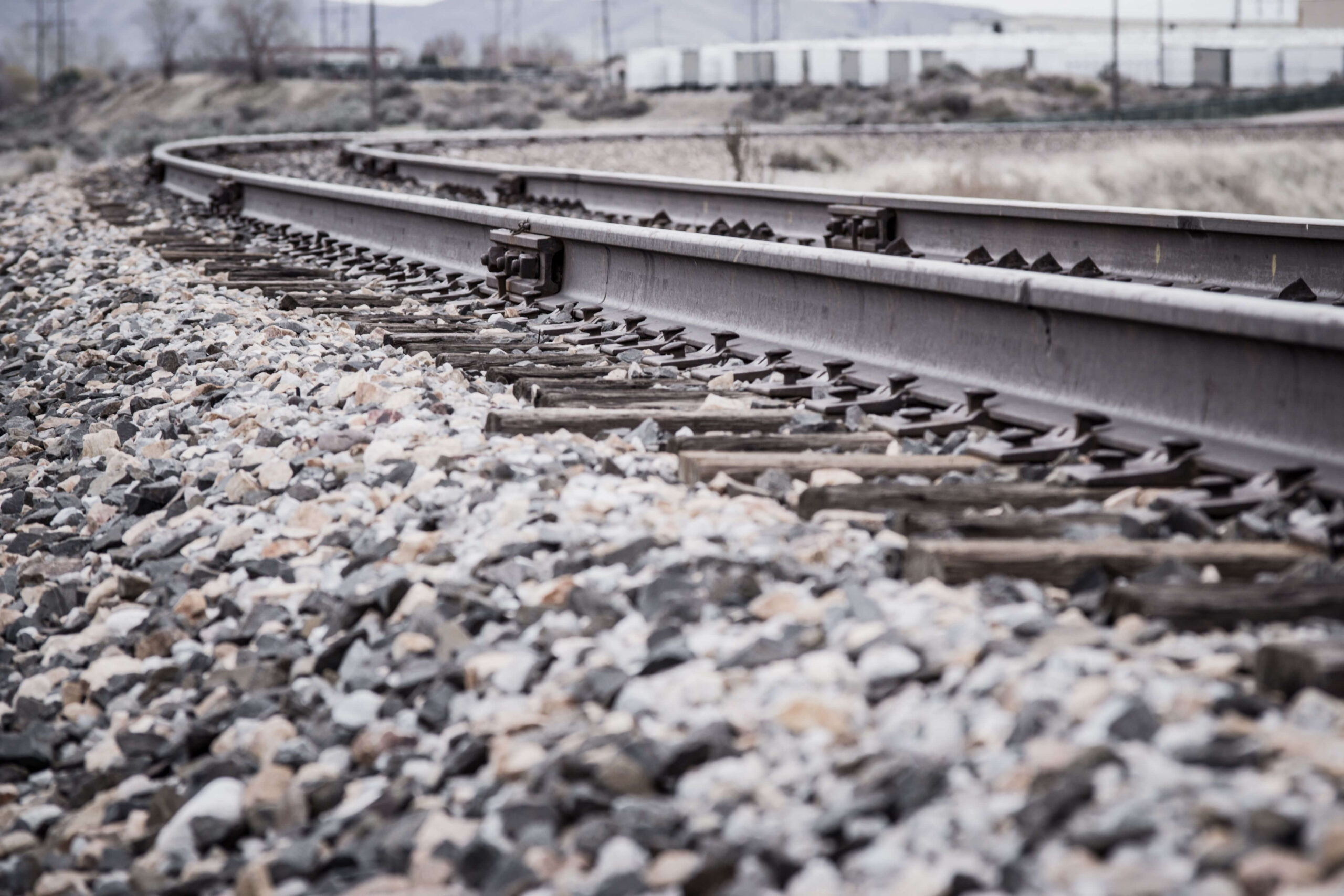 Railway InvestigationBallast, formation and trackbed-related investigation.
 Structures & ConcreteHigher-frequency investigation of structural and construction features.
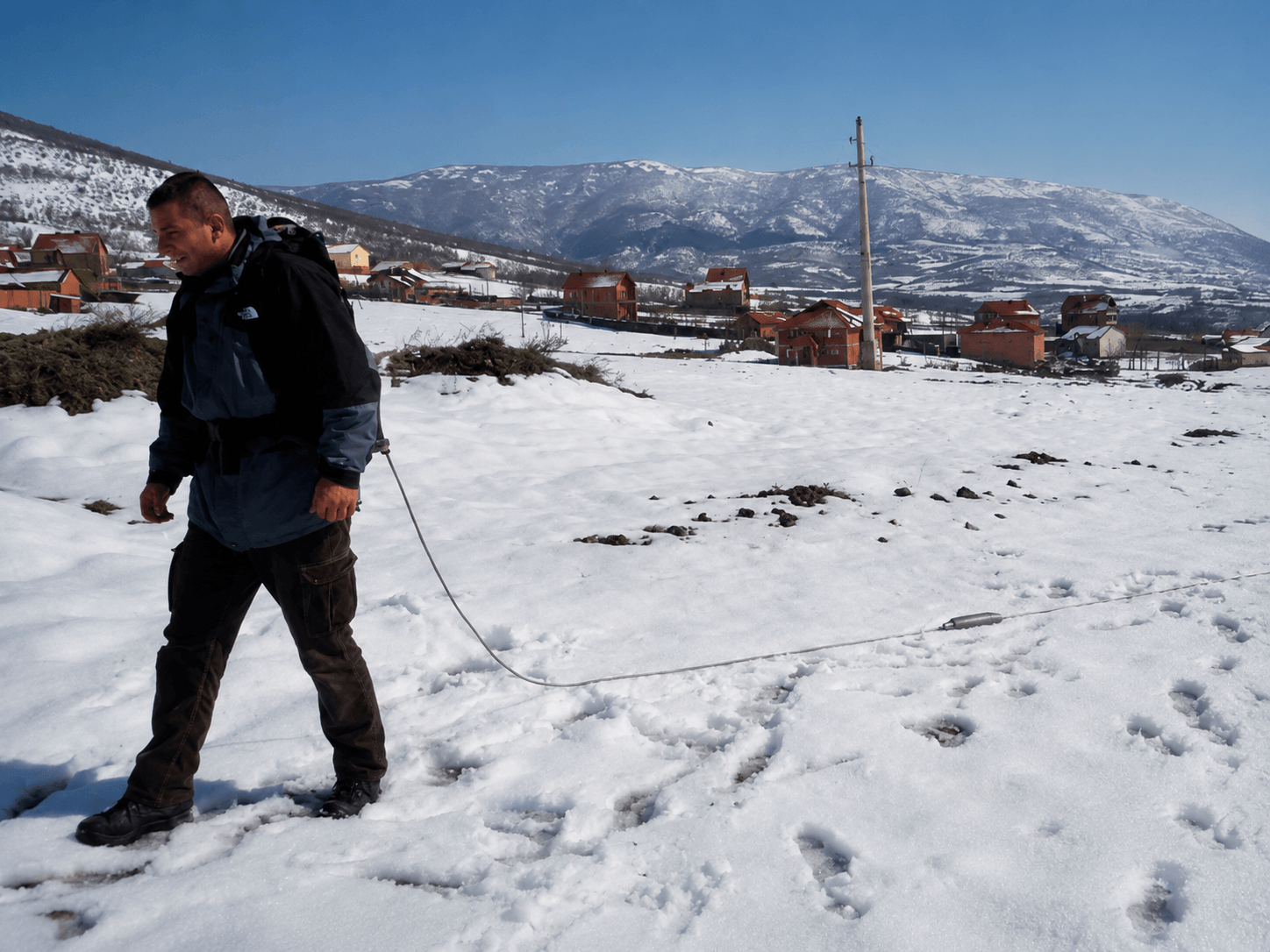 Environmental SurveysBrownfield, buried-feature, void and ground-condition studies.
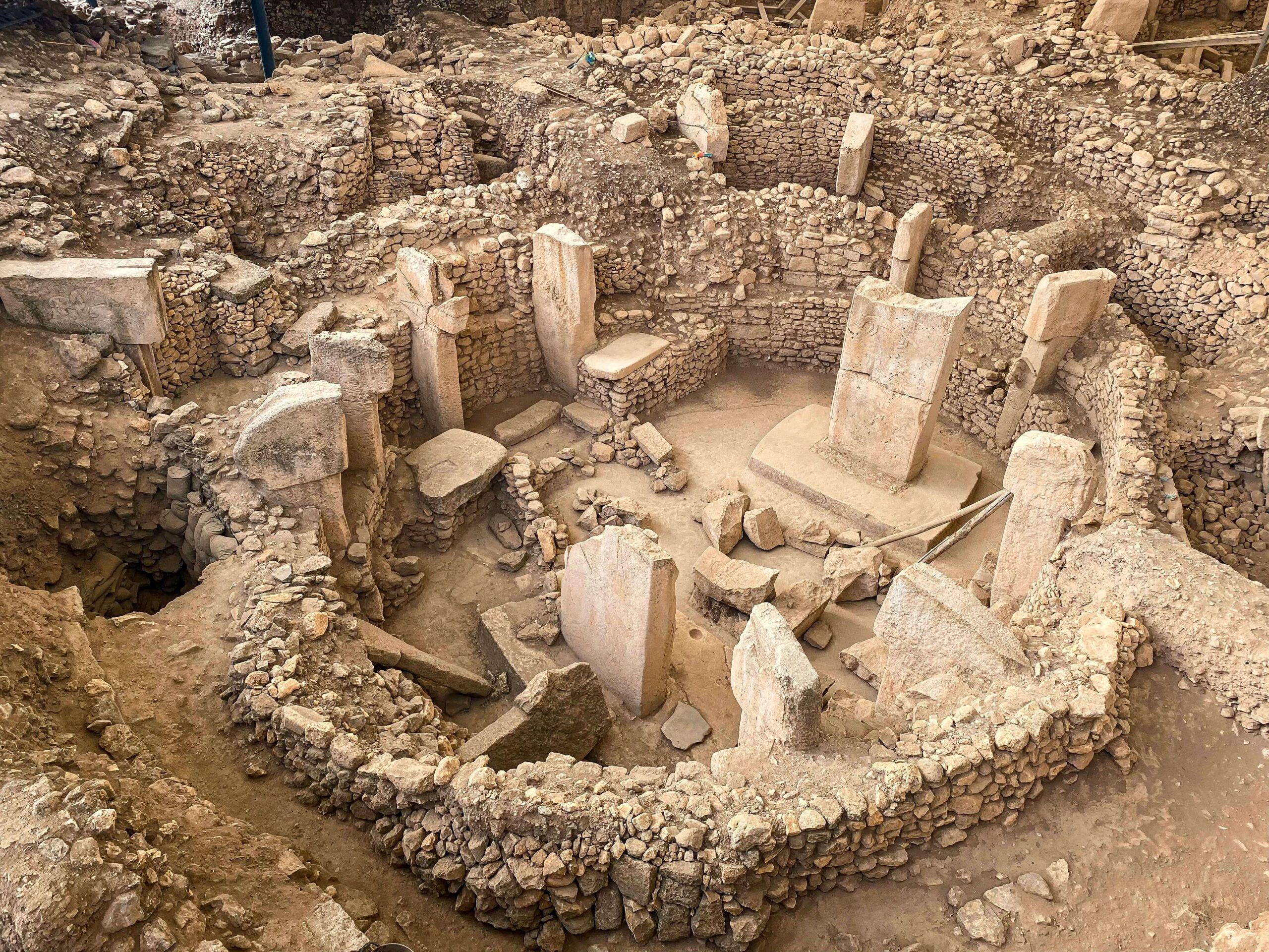 ArchaeologyNon-intrusive investigation of buried structures and anomalies.
Performance and Regulatory Considerations
Published depth figures are guides, not guaranteed performance
Investigation range and resolution depend on antenna frequency, ground conductivity, moisture, target dimensions, target orientation, antenna coupling, survey method and data quality.
GV7 uses low-frequency unshielded antennas. Its use may be subject to local communications regulations and may require approval from the relevant national authority. Confirm suitability and regulatory requirements with UTSI before specifying the system.
Specialist GPR Development
Some investigations require more than an off-the-shelf system
UTSI can discuss non-standard channel counts, antenna arrangements, mechanical platforms, positioning interfaces, data connections and deployment requirements for specialist work.
Configure the Right GroundVue System
Start with the investigation, not the antenna
Tell us about the expected target, investigation depth, required resolution, survey area, terrain, positioning and desired output.