
Utility Mapping and Immediate Mark-out
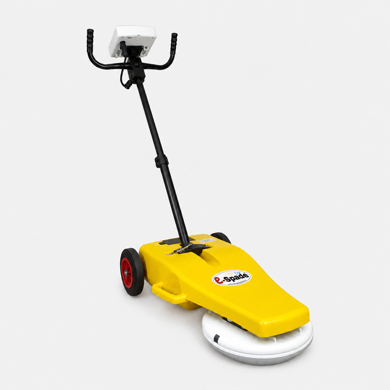
e-Spade Lite Ground probing radar made practical.
A field-portable ground penetrating radar system for utility mapping, immediate mark-out and conventional subsurface investigation.
Immediate Mark Out or Utility Mapping.
XPM2 and UP400 configurations.
Easier transport and storage.
Adjustable landscape field screen.
The e-Spade Lite Approach
A practical route into conventional GPR
e-Spade Lite is intended for users who need more direct radar information and mapping capability than a simplified avoidance system, without moving immediately to a fully configurable professional GPR platform.
Designed around field outcomes
Select either an immediate mark-out workflow for identifying and marking targets or a utility-mapping workflow for recording and reviewing survey information.
Visible radar information
The operator can view subsurface radar responses directly on the field display and apply the selected workflow to the survey.
Configurable around the terrain
Choose the XPM2 configuration for compact utility work or the larger-wheel UP400 configuration for increased reference depth and more demanding ground conditions.
Transportable field system
The folding frame, adjustable handle and removable battery are designed to support regular transport, setup and field use.
Pre-installed Software Options
Choose the workflow around the result
e-Spade Lite can be supplied with an Immediate Mark Out or Utility Mapping workflow depending on how the survey information needs to be used.
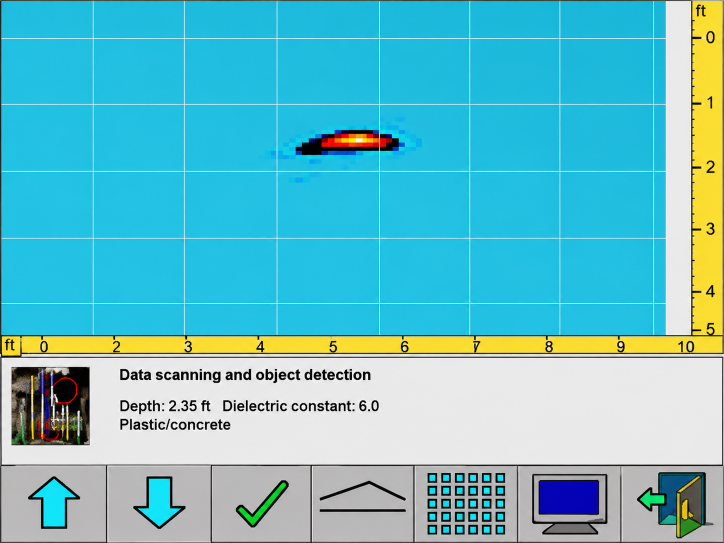
Immediate Mark Out
A field-focused workflow intended to support rapid identification and marking of subsurface targets during the survey.
- Review processed target information directly in the field
- Support immediate target marking
- Present estimated target depth information
- Reduce the delay between survey and site action
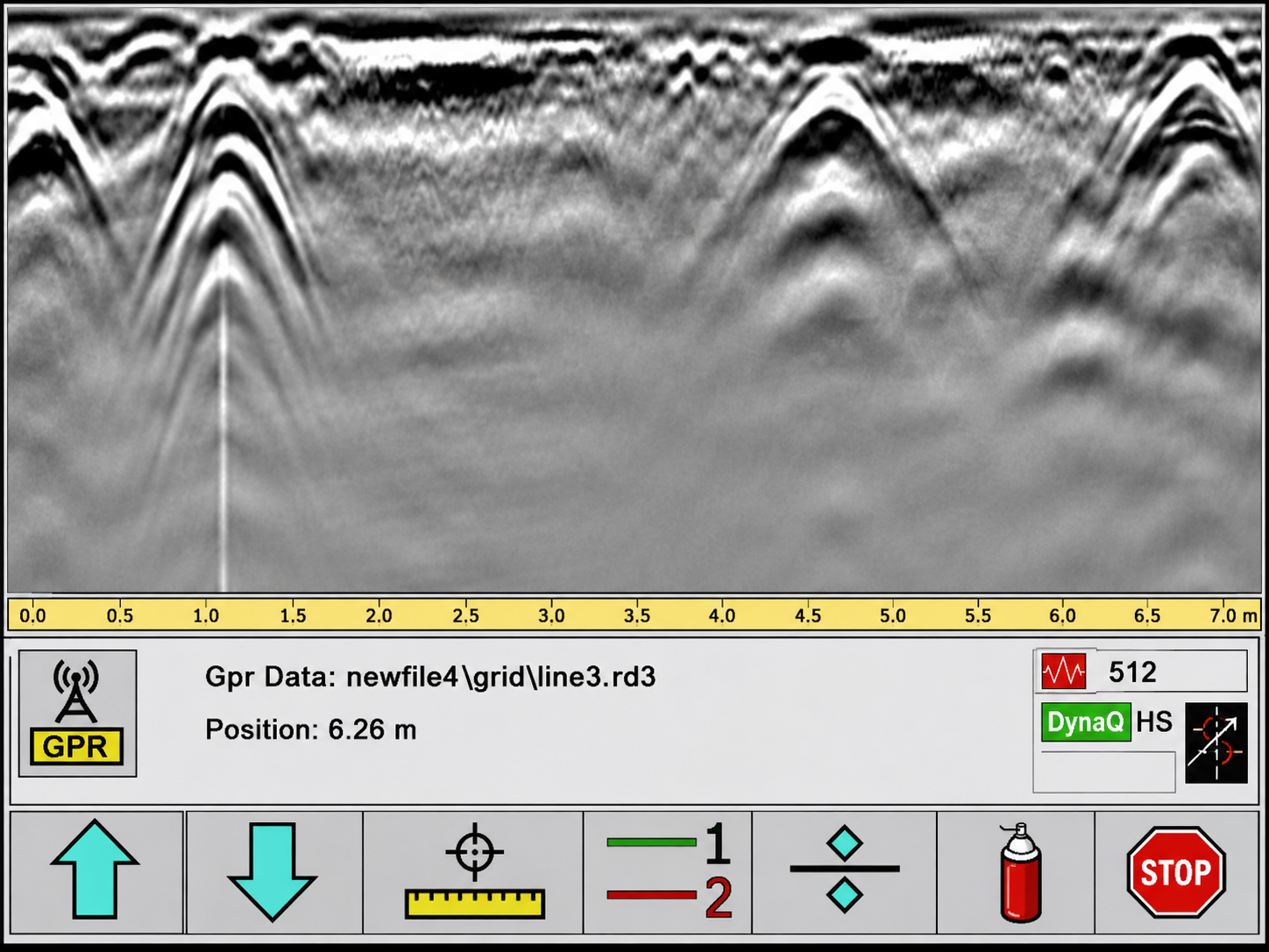
Utility Mapping
A survey workflow for collecting utility-related radar information and retaining data for review, mapping and compatible post-processing.
- View conventional radar profiles
- Record survey data for later review
- Support mapped utility investigation
- Work with compatible positioning and processing tools
Antenna Configurations
Select the system around depth, resolution and terrain
Compact utility-focused configuration
The XPM2 configuration uses a compact X-polar bistatic dipole antenna and 200 mm wheels for general utility and near-surface field work.
Larger-wheel, increased-depth configuration
The UP400 configuration uses a co-polar bistatic dipole antenna and 400 mm wheels for deeper reference performance and more demanding terrain.
Designed for Field Use
Practical controls, transport and power
The mechanical and display arrangement is designed around regular transport, outdoor visibility and operator adjustment.
Folding system
The frame folds for transport and storage, reducing the space required between surveys.
Adjustable handle
A 365 mm variable telescopic adjustment supports different operator heights and configurations.
Field display
A high-contrast 210 mm landscape LCD provides sunlight-readable information with 90-degree operator-adjustable tilt.
Removable battery
The removable 14.4 V lithium-ion pod is stated as UN38.3 compliant and typically provides two to four hours of continuous use.
Technical Overview
Core system specifications
The final system configuration depends on the selected antenna, wheel arrangement and software workflow.
e-Spade Lite technical information
Download the current reference sheet covering dimensions, antenna configurations, performance guidance, software options, display and battery information.
Performance Considerations
Survey conditions determine real-world performance
Published depth and resolution figures are reference values. Ground conductivity, moisture, target dimensions, target orientation, antenna coupling, surface conditions and survey technique can materially affect the resulting radar information. Contact UTSI to confirm the appropriate antenna and workflow for the intended application.
Configure e-Spade Lite
Select the antenna and workflow around the survey
Tell us about the intended targets, expected depth, site conditions, required output and whether the work is focused on immediate mark-out or utility mapping.